

October 15, 2026
Lake Hancock Is Held a Foot and a Half Higher for the Peace River
The 1963 weir let Lake Hancock spill over its top at 98.7 feet; the structure that replaced it in 2013 holds the lake to 100, and the extra foot and a half is stored for a river between Bartow and Zolfo Springs
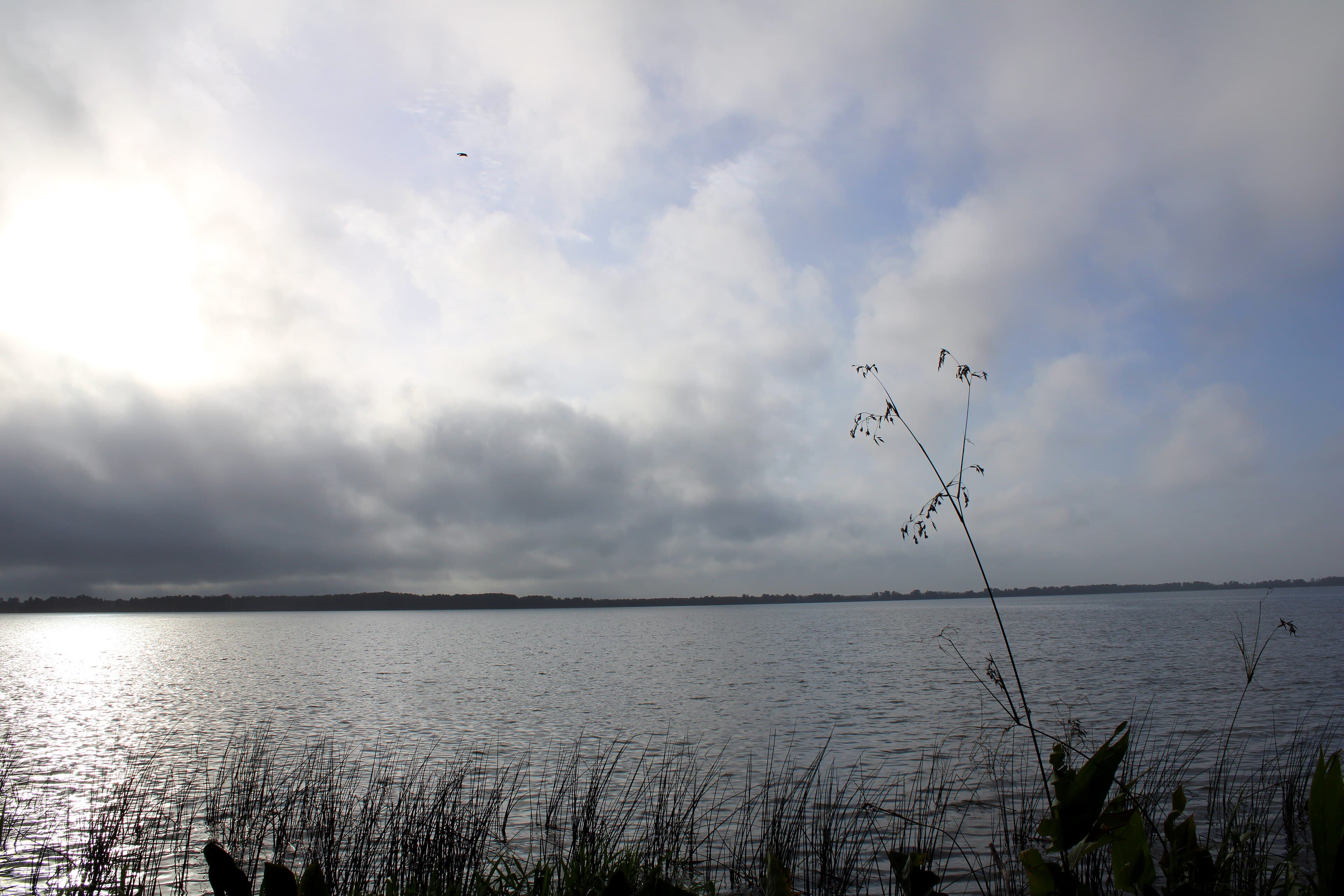
The structure that controlled Lake Hancock from August 1963 until May 2013 was a concrete and steel sheet pile weir with two metal radial gates, 7 feet high and 20 feet wide. Water flowed over the top of it at 98.7 feet above sea level. In the District's stage record for the lake, kept at two gauges and carried through December 31, 2014, 98.7 feet is also the elevation Lake Hancock's water surface equaled or exceeded ten percent of the time. The lake's high water was the top of the weir.
In 2003 the Southwest Florida Water Management District began evaluating whether to replace that weir and raise the lake, and the reason was downstream. The upper Peace River, from Bartow to Zolfo Springs, was often not achieving the minimum flows the District had set for it. A District news release dated August 2, 2006 reported that its Governing Board had approved a memorandum of agreement with Polk County for the Lake Hancock Lake Level Modification Project. The release put the lake at 98.5 feet above sea level, said it had historically been two feet higher, and reported that the District had evaluated raising it as high as 100.5 feet. The proposal called for 100.
A contractor began the new P-11 structure on November 14, 2011, about 220 feet downstream of the old one, and finished in April 2013; the 1963 weir was demolished that May. It is an earthen embankment, a concrete spillway and three concrete bays on steel sheet pile driven to hard lime rock. Two of the bays carry roller gates measuring 20 feet by 10 feet, with inverts at 92.0 feet above NGVD29. The third bay holds two weir gates, each 10 feet by 4 feet, with inverts at 96.0 feet, designed for releasing relatively small volumes of water at precise flow rates during the dry season to meet the upper Peace River minimum flows. The structure was first used for conveyance on August 5, 2013, and became remotely operable from the District's Brooksville office on January 15, 2014.
The rise is a foot and a half. The control elevation of the lake's outflow went from 98.5 to 100 feet NGVD, a figure the District's project page gives instead as a rise from 98.7 feet, the crest of the old weir. Between 97.6 and 100 feet, the raised lake holds about 13,377 acre-feet, roughly 4.359 billion gallons. Inflows were stored for about a year, and in late 2015 the District began operating P-11 to help meet the minimum flows in the river. The 100-foot operating level was determined to be the approximate historical level of the lake, before the area was mined for phosphate and the natural lake outlet deepened.
The minimum levels report the Governing Board approved on October 27, 2015, adopted into District rules on November 10 and effective November 30, set a Minimum Lake Level for Lake Hancock of 97.6 feet above NGVD and a High Minimum Lake Level of 98.8 feet. The guidance levels proposed in the same report were never adopted into rule, because they were built on water level conditions from before P-11 was modified, and the District expected the lake's current and future levels to differ. The USGS gauge 65 feet below the old weir, Saddle Creek at Structure P-11 near Bartow, number 02294491, had recorded continuous flow from December 1, 1963 through October 7, 2014; it was discontinued after the new structure went in and has not been replaced. One of those two gauges, station 24532, is still reporting, and the Polk County Water Atlas carries its Lake Hancock readings from December 9, 1981 forward within a historic range of 90.39 to 103.44 feet NAVD88.
Operating protocols for the structure set a low operating level of 97.5 feet and a maximum desirable level of 100 feet. On April 23, 2026 the District announced it was closing P-11 to maintain minimum lake levels in Lake Hancock, with portions of the upper Peace River from the lake down to Fort Meade expected to go dry and become non-navigable within days. A below-average 2025 rainy season had left a 12.8-inch regional rainfall deficit against the average 12-month total, and fish kills were expected in the lake as well as the river, from low dissolved oxygen. Dry conditions in the upper Peace were common before 2015; since the project was finished, the District has been able to store water in the lake and release it to the river during the dry season, except for a short period at the end of the dry season in May 2017. When the lake falls below 97.6 feet above NGVD, no releases are made through P-11, regardless of downstream flow needs.
Sources
Every factual claim in this story was checked against the page it came from before the story was saved. These are those pages. Our standards are on the masthead.
- Minimum Levels and Proposed Guidance Levels for Lake Hancock in Polk County, Florida, Southwest Florida Water Management District
- Water Budget Evaluation for a Proposed Reservation for Lake Hancock and Lower Saddle Creek in Polk County, Florida (February 2020), Southwest Florida Water Management District
- District and Polk County Preparing to Proceed on Lake Hancock Project (news release, August 2, 2006), Southwest Florida Water Management District
- Lake Hancock Water Quality and Management Projects, Southwest Florida Water Management District
- Lake Hancock, Polk County Water Atlas, University of South Florida
- District Closing Lake Hancock Water Control Structure to Protect the Lake's Required Minimum Level (news release, April 23, 2026), Southwest Florida Water Management District
Peace River, Fort Meade: The Thirteen Miles Where the River Drains Into the Ground
Between Bartow and Fort Meade the Peace River loses water into holes in its own bed — on one day in June 2002 the USGS measured about 32 million gallons going into the ground — and Fort Meade is where the leaking stops
Read →
Lake Marion, Haines City: The Island House Built in the Shape of a Celtic Cross
In 1887 an Irish carpenter who had come south for his lungs started cutting cypress on a 23-acre island in Lake Marion, and built a house in the shape of a Celtic cross — his family has held the island ever since
Read →
Lake Placid, Highlands County: The Town Melvil Dewey Renamed
The librarian who invented the Dewey Decimal System renamed a whole Florida town to plant a winter branch of his New York club — and the town still carries the name he picked
Read →
North Prong Alafia River, Mulberry: The 154 Snook That Started the Repair
When 1997's acid spill came down Skinned Sapling Creek into the North Prong, the first act of repair on the Alafia was a release of exactly 154 juvenile snook
Read →