

May 7, 2026
Lake Hatchineha, Kenansville: The Big Lake You Could Almost Walk Across
A 6,665-acre lake that averages three feet deep tells you almost everything about how the Kissimmee Chain actually works
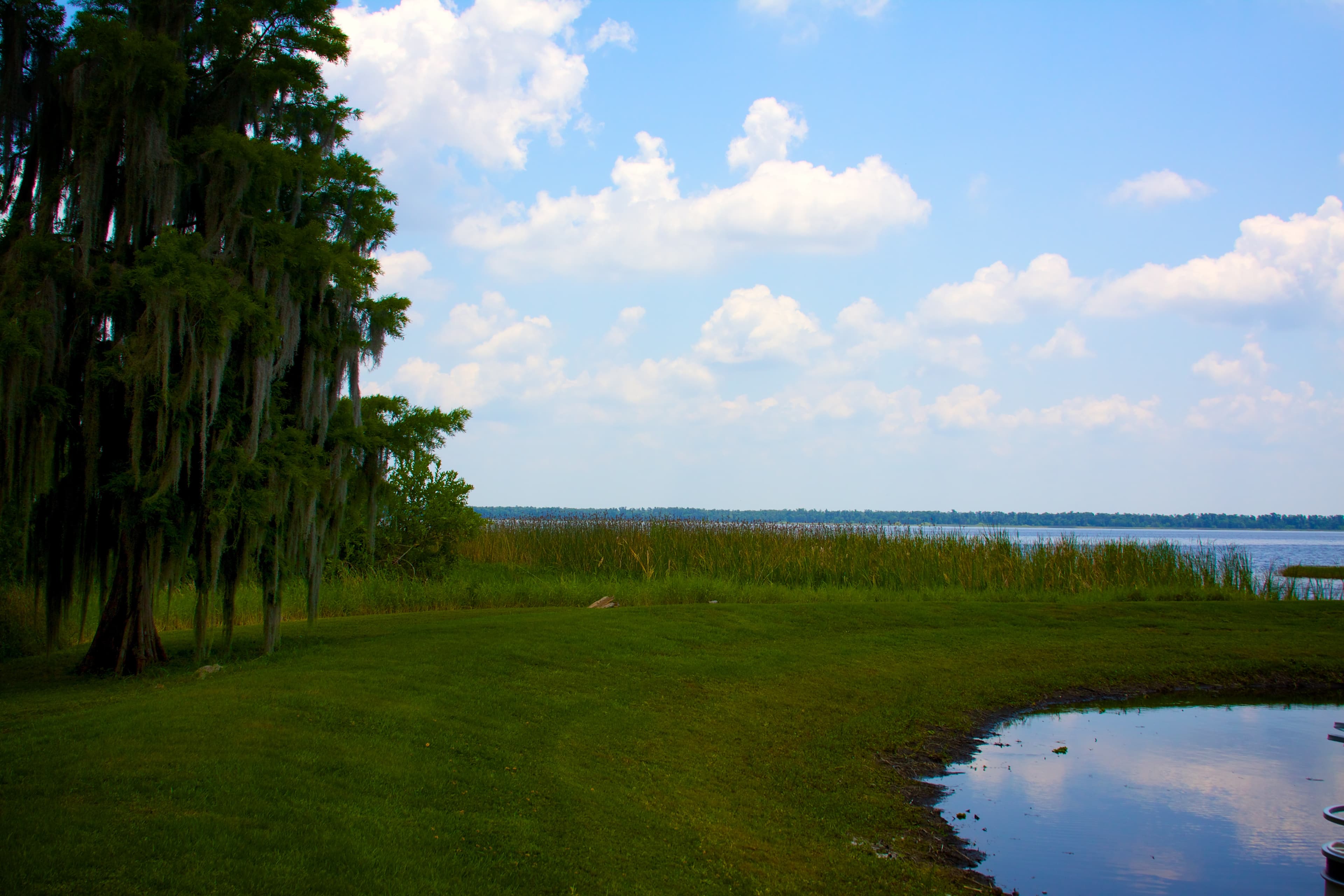
Lake Hatchineha covers 6,665 acres, ten and a half square miles of open water, and averages three feet deep. The deepest hole anyone has found is eight feet.
Hatchineha is one of the largest lakes in the Kissimmee Chain and one of the shallowest lakes of any size in Florida.
Cypress trees grow not just along the shoreline but well out into what looks, from a distance, like open lake. Three feet of standing water is within the range a bald cypress will grow in, so the fringe marks where the bottom sits inside that range. The trees stop where the bottom drops another foot or two, and the line they stop on is irregular.
Hydrilla, eelgrass, pads, and reeds root in three to five feet of water over sun-warmed bottom, which covers most of the lake. There is no thermocline to speak of and no dead layer underneath. The lake supports bass and bluegill.
The Kissimmee River starts as a chain of wide, shallow, grassy bowls — East Lake Toho, then Toho, then Cypress, then Hatchineha, then Kissimmee — strung together by short connectors and, since the mid-twentieth century, by a few canals and the lock at S-65. Water moves through them slowly because there is barely any gradient and barely any depth. Along the way the chain drops sediment and processes nutrients before the water moves south toward Okeechobee. Hatchineha sits in the middle of that string: a 6,665-acre slow-flow wetland open enough at the surface to put a bass boat on.
The Headwaters Revitalization regulation schedule, implemented in late 2020, changed how water levels are managed across Kissimmee, Cypress, and Hatchineha, letting the three lakes rise and fall on something closer to their old seasonal rhythm to support marsh habitat downstream in the restored Kissimmee River. In March 2024, the state approved the acquisition of 1,342 acres in the Lake Hatchineha Watershed Florida Forever project — Creek Ranch, a working cattle property along the lake's edge. The Florida Fish and Wildlife Conservation Commission's management prospectus described the parcel as filling "an important gap in the landscape of conservation lands... critical to water quality protection."
Most of the buffer around the lake is still intact. The shoreline outside the conservation parcels remains largely cattle pasture, cypress swamp, and a scattering of fish camps and old homesteads. Three feet of average depth does not accommodate the draft of a cabin cruiser, and the lake has exactly one public ramp, at Port Hatchineha.
Presented by

Own waterfront in Haines City?
Lake history is interesting. Shoreline conditions are practical. Horizon Marine builds docks, seawalls, and shoreline protection on Haines City's lakes — and gives a straight answer on what your property actually needs.
Lake Denton, Avon Park: The 51-Foot Hole Where Divers Certify
A shallow-state lake that drops to 51 feet with 30 to 40 feet of visibility became one of inland Florida's go-to lakes for learning to scuba dive
Read →
Spring Lake, Brooksville: The Grove That Turned Into an Attraction
A hard freeze wiped out a Spring Lake citrus grower's living in the early 1960s, and rather than replant, the Boyett family turned the survivors into a roadside attraction that outlived the groves around it
Read →
Lake John, Lakeland: The Lake a Dragline Left Behind
The 99-acre lake behind the ballfields at Curtis Peterson Park in Lakeland wasn't shaped by any river — it's water sitting in ground a phosphate dragline emptied out in the 1950s
Read →
Edward Medard Reservoir, Plant City: The Mine That Became the Park
The 770-acre lake east of Brandon where a quarter-million people a year come to fish and camp was, in the 1960s, an open phosphate pit
Read →
Building on Lake Hatchineha or another Haines City lake?
Free waterfront assessment · License #SCC131154313