

September 8, 2026
Lake Denton, Avon Park: The 51-Foot Hole Where Divers Certify
A shallow-state lake that drops to 51 feet with 30 to 40 feet of visibility became one of inland Florida's go-to lakes for learning to scuba dive
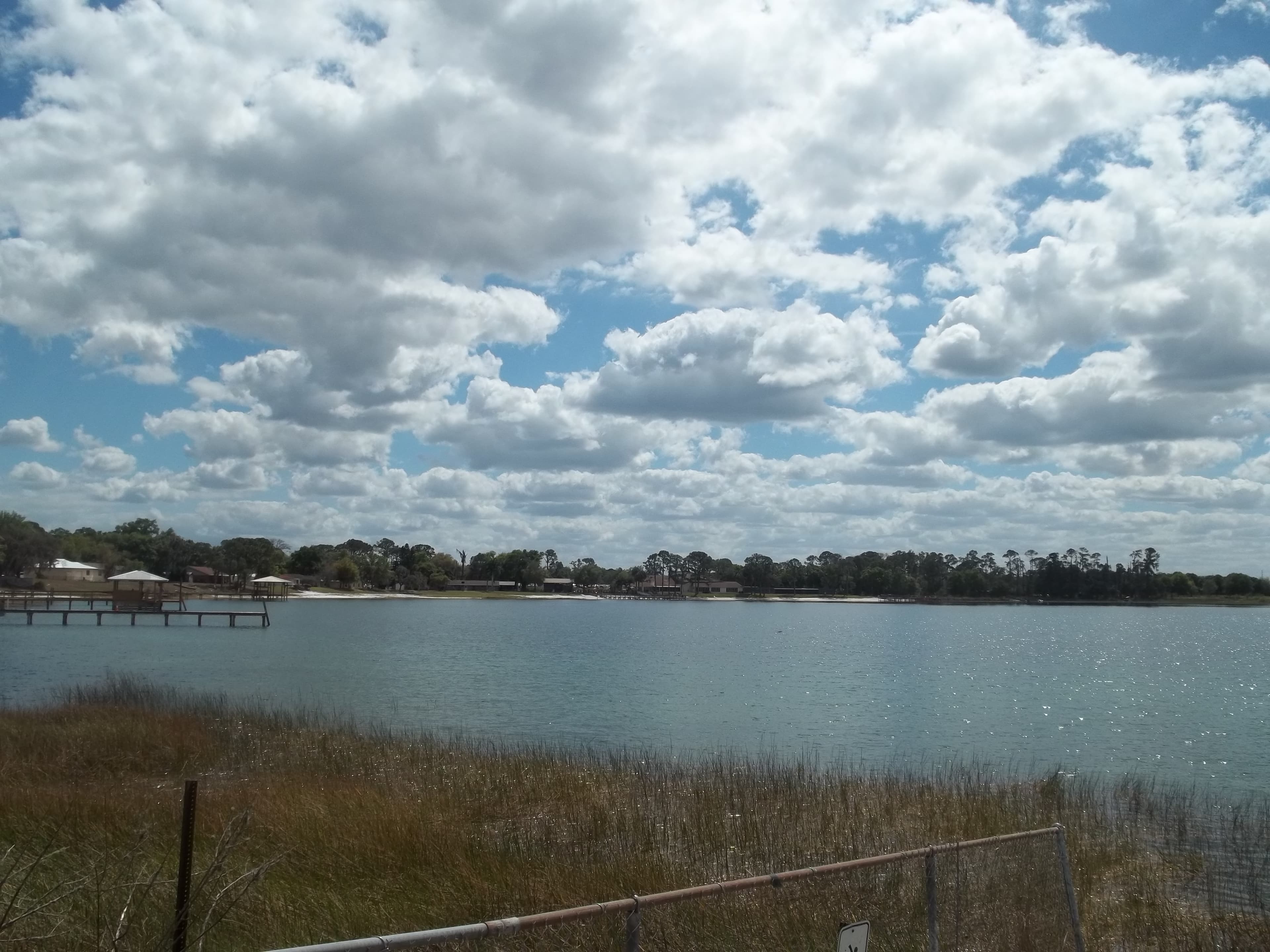
Lake Istokpoga, an hour north, spreads across nearly 28,000 acres and averages barely a meter deep. Lake Hatchineha runs three feet on average. Lake Denton, 66 acres between Avon Park and Sebring, goes to 51 feet at its deepest point. In Highlands County that depth is why people show up at the water with tanks on their backs.
Visibility at Denton is commonly given as 30 to 40 feet, though that range circulates among divers without a named shop or agency publication behind it — treat it as an approximation rather than a measured figure. Denton is spring-fed, drawing up through the limestone of the Florida Platform. That karst bedrock dissolves and collapses into the circular basins scattered across this stretch of the county — Lake Lotela and Lake Verona among them — and the same porous rock lets groundwater in cold and clean instead of stained with tannins and runoff.
Fifty-one feet of depth and clear water make the profile used for open-water certification. Students have to descend, level off, clear a mask, share air, and hold buoyancy, and none of that goes well in ocean current or quarry murk. Denton has a column of water they can see through and a bottom deep enough to satisfy the training standard.
Three boats sit on that bottom. The available record does not identify who sank them, or when, or under whose permission — only that they are there, and that fish gather on them. A student on a certification dive has something to swim to.
There is a boat ramp at 800 Lake Denton Road, part of the Highlands County boat ramp system, and Lake Denton Camp on the shore, managed by Lake Denton Management Inc. Fishing boats, paddlers and swimmers use the lake above the divers.
Avon Park sits on karst, and roughly 12 percent of the city's total area is water — a scatter of round basins that formed when limestone dissolved underground and the surface dropped into the space left behind.
Lake Mattie, Auburndale: The Lake Florida Measures Other Lakes Against
Lake Mattie is one of the 71 lakes Florida uses as a reference for what a minimally disturbed lake looks like — and in 2019 the state's own update listed it at a Lake Vegetation Index score of 41 and asked whether it still qualified
Read →
Lake Placid, Highlands County: The Lake Stayed Lake Childs Until 1954
Chapter 12990 renamed the town in 1927, but the water was officially Lake Childs until the U.S. Board on Geographic Names ruled otherwise in 1954 - and that decision did not reach printed maps until 1957
Read →
Lake Juliana, Auburndale: The County Park Permit Polk's Own Planners Turned Down
On June 6, 2012 the Polk County Planning Commission voted 5-1 to deny Polk County's own permit for a boat ramp on Lake Juliana — by the parks department's account the first county park permit ever rejected — and the appeal that reversed it turned on who owned the bottom of the lake.
Read →
Lake Whistler, Auburndale: The Dam on This Shore Belongs to the Lake Next Door
A high-hazard state dam completed in 1965 stands on 75-acre Lake Whistler's northeast shore, and the federal inventory lists its reservoir at 764 acres — Lake Arietta's number, not Whistler's
Read →