

September 8, 2026
Lake Padgett, Land O' Lakes: The Sinkhole That Was Measured From the Inside
On July 14, 2017, a sinkhole opened in the Lake Padgett Estates subdivision, swallowed two homes and a boat, and grew to 260 feet across — and a USF researcher climbed in with a 3D scanner to study it
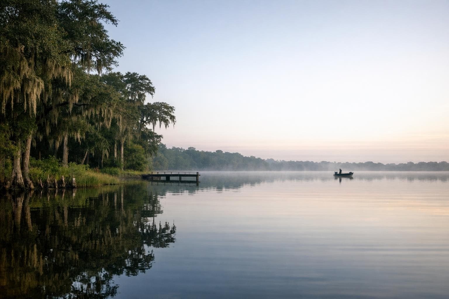
The hole started out about the size of a small swimming pool. By the end of Friday, July 14, 2017, it had swallowed a boat, pulled down two houses in the Lake Padgett Estates subdivision, and forced officials to evacuate residents from about a dozen homes. County officials measured its widest point at 260 feet. Some early accounts put it at more than 200 feet wide and 50 feet deep. When it stopped, Pasco County condemned seven homes on Ocean Pines Drive.
Lake Padgett is a 180-acre private lake in Land O' Lakes, one of the resident-only lakes at the center of the estates. The rule there has always been strict: you can't launch a boat without owning a home on the water. In 1999, when a motorsports company ran organized events on these closed lakes, its general manager, Tom Storey, said the events let people onto lakes that are usually closed.
Lake Padgett Estates sits between two large groundwater well fields. Sinkholes in this part of Florida form where acidic groundwater dissolves the limestone under the surface, hollowing out cavities until the sand and clay above lose their support and collapse. The well fields on either side of the neighborhood made it a natural place to ask whether pumping had pulled the ground down. The Southwest Florida Water Management District's readings at the closest well to the neighborhood showed groundwater levels within a normal range on the day the sinkhole developed.
Geologists came to study it. One of them was Dr. Lori Collins, co-director of the University of South Florida Library's Digital Heritage and Humanities Collections. Collins scanned the sinkhole in 3D with the same equipment her group uses on archaeological sites and historic structures, capturing its exact shape before it changed again. The hole had gone from swimming-pool size to 260 feet across in a matter of hours, faster than anyone could measure it by hand. The scan fixed the walls, the depth and the shape of the break into a record researchers can compare against the next collapse.
What Collins recorded was the geometry left behind after the boat and the houses were gone: the finished form of the hole. That is the data geologists work from in trying to explain a collapse that opened where it did, on a day when the nearest well readings were in a normal range.
Some of the owners contested the condemnation of their property. The scans Dr. Collins made of the Ocean Pines Drive sinkhole are held by USF's Digital Heritage and Humanities Collections.
Presented by

Hardee Lakes, Bowling Green: The Lake That Stayed Closed Until the Fish Grew
Lake 3 at Hardee Lakes Park was stocked with sunshine bass in 2001 and then kept shut to anglers while they grew, and when it finally opened one Saturday morning in October 2005 all eight spots were already taken
Read →
Lake Smart, Winter Haven: The Round Lake on the Ten-Lake Run
Lake Smart sits on a chain that crosses three cities and ten lakes, stitched together by canals that turned a scattering of round Polk County ponds into a single navigable system
Read →
Spring Lake, Brooksville: The Grove That Turned Into an Attraction
A hard freeze wiped out a Spring Lake citrus grower's living in the early 1960s, and rather than replant, the Boyett family turned the survivors into a roadside attraction that outlived the groves around it
Read →
Moon Lake, New Port Richey: The Foot and a Half That Doubles the Lake
Between 38.2 and 39.6 feet, Moon Lake grows from about 105 acres to 193 — the extra water standing in a 95-acre cypress swamp that a raised road cut off from the lake, and that now sets the lake's legal minimum level
Read →
Have a waterfront project in Central Florida?
Free waterfront assessment · License #SCC131154313