
October 3, 2026
Lake Davenport, Davenport: The 1942 Motion That Cut the Lake in Two
In 1942 the Minutes of Davenport record a motion to tear down the failing West Boulevard bridge and fill the channel with sand, and Lake Davenport's northeastern arm has been a separate pond ever since
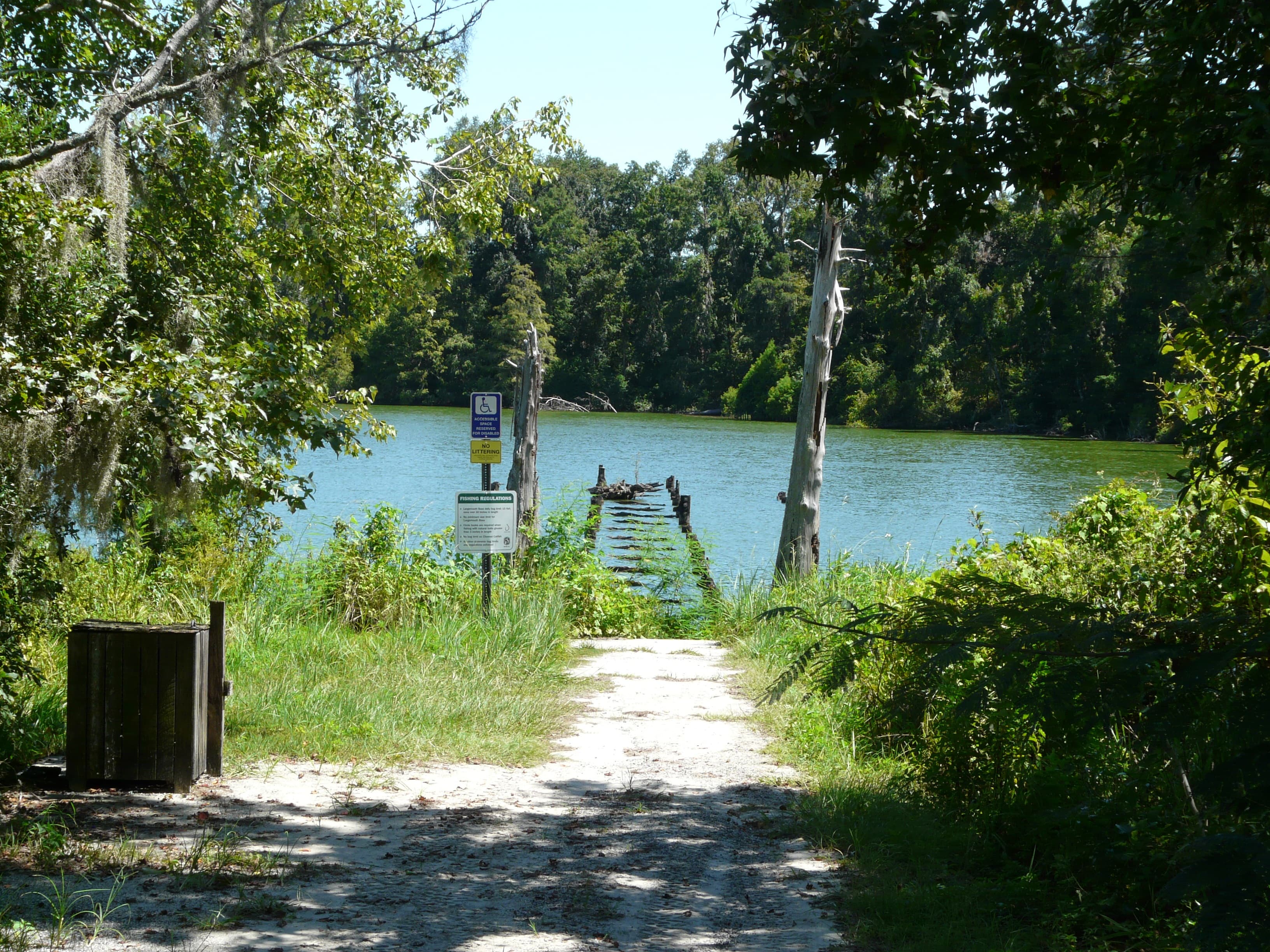
By 1942 the bridge on West Boulevard was in dangerous condition. It had been built when West Boulevard was laid out, crossing the section of water that joined the northeastern part of Lake Davenport to the main body, and the Minutes of Davenport show that a motion was made to tear the bridge down and fill in the area with sand. That fill cut off the flow of water between the two sides. Judith Torgersen Thompson, who handles heritage research for the Davenport Historical Society, set the sequence down in the society's Winter 2021/22 newsletter, News from the Port.
The piece that was cut loose got its own name. It was called North Lake, and Thompson wrote that children of the day also called it Pumphouse Lake. It is the pond on the west side of the Tom Fellows Community Center on North Boulevard — the building that opened in October 2021 and carries the name of longtime city commissioner Tom Fellows.
Before the sand went in, there was a pavilion with a bath house and a beach on Lake Davenport, and many dances were held there. A history of the Center Crest property written in 1985 by resident Mary Collins records all of it, and places the pavilion on the side of the lake nearest the railroad. The same account says a motor speed boat record was broken on Lake Davenport in 1916. The State Archives of Florida holds a photograph by Holly Hill Studios, image number RC10030, dated 1925 and catalogued as water skiing at Lake Davenport.
The Holly Hill Grove and Fruit Company, a division of the Wilson and Toomer Fertilizer Company of Jacksonville, began acquiring large tracts around Davenport about 1918, planting groves and promoting the town. The National Register of Historic Places nomination for the Davenport Historic District, in Polk County, records the population climbing from 117 in 1920 to a peak of some 880 in 1928.
That same nomination describes Lake Davenport as the largest body of water in the city, lying west of town but extending over a smaller area than it occupied during the early twentieth century. It lists North Lake, near the northwest corner of Davenport, along with Palm Lake, as presently little more than wetlands or dry beds.
The Florida Department of Environmental Protection carries the main body under identification number 3170FG, under the name Old Lake Davenport, impaired for mercury in fish tissue. On July 29, 2022, a USF Water Institute team ran the state's Lake Vegetation Index on it and logged 41 species of wetland vegetation, 34 of them native. The index came back at 62. Averaged with the 55 recorded on August 31, 2020, that put the lake at 58.5, well above the 43 that marks impairment, and the report classed it healthy. The secchi disk went down 2.07 meters — 6.8 feet — before it was lost to sight, deeper than the lake's mean reading over the previous ten years.
Sources
Every factual claim in this story was checked against the page it came from before the story was saved. These are those pages. Our standards are on the masthead.
- News from the Port, Winter Quarterly 2021/22 — Davenport Historical Society (Following the Heritage Trail, by Judith Torgersen Thompson)
- Tom Fellows Community Center — City of Davenport, Florida
- History: The Roots of Center Crest, as written by Mary Collins (Lot 124, 1985) — Center Crest RV Park
- Water skiing at Lake Davenport - Davenport, Florida — State Archives of Florida, Florida Memory (image RC10030)
- National Register of Historic Places Registration Form: Davenport Historic District, Davenport, Polk County, Florida — National Park Service
- Lake Davenport (Davenport) — Polk County Water Atlas, USF Water Institute
- Old Lake Davenport Lake Vegetation Index Assessment, David Eilers, USF Water Institute, July 29, 2022
Presented by

Own waterfront in Davenport?
Lake history is interesting. Shoreline conditions are practical. Horizon Marine builds docks, seawalls, and shoreline protection on Davenport's lakes — and gives a straight answer on what your property actually needs.
Lake Tracy, Haines City: The Ditch That Got Its Own Government
A drainage ditch that begins at the north end of Lake Tracy has had its own unit of Florida government since 1929, and it still assesses $50 an acre to keep the channel open
Read →
Lake Rosalie, Lake Wales: The 1947 Canal That Gave the Lake a Second Way Out
Water leaves Lake Rosalie in two directions at once, and the northern route — the Zipprer Canal that kayakers now paddle — was cut through a floodplain marsh in 1947 to drain it for cattle pasture
Read →
Peace River, Fort Meade: The Thirteen Miles Where the River Drains Into the Ground
Between Bartow and Fort Meade the Peace River loses water into holes in its own bed — on one day in June 2002 the USGS measured about 32 million gallons going into the ground — and Fort Meade is where the leaking stops
Read →
Lake Walk-in-the-Water, Lake Wales: The Lake That Lost All Its Hydrilla and Had to Be Replanted
Three 2004 hurricanes pulled every bit of submersed vegetation out of Lake Walk-in-the-Water and no one ever sprayed a drop — by FWC's account the hydrilla has not come back, and biologists have spent the years since hand-planting natives in its place
Read →
Building on Lake Davenport or another Davenport lake?
Free waterfront assessment · License #SCC131154313