

November 3, 2026
Saddle Creek at Structure P-11, Bartow: The Flow Record That Came Back
The USGS gauge below Lake Hancock published its last daily flow on October 7, 2014 and its next one on September 22, 2021 - and in between, the District had to calculate the lake's outflow instead of reading it
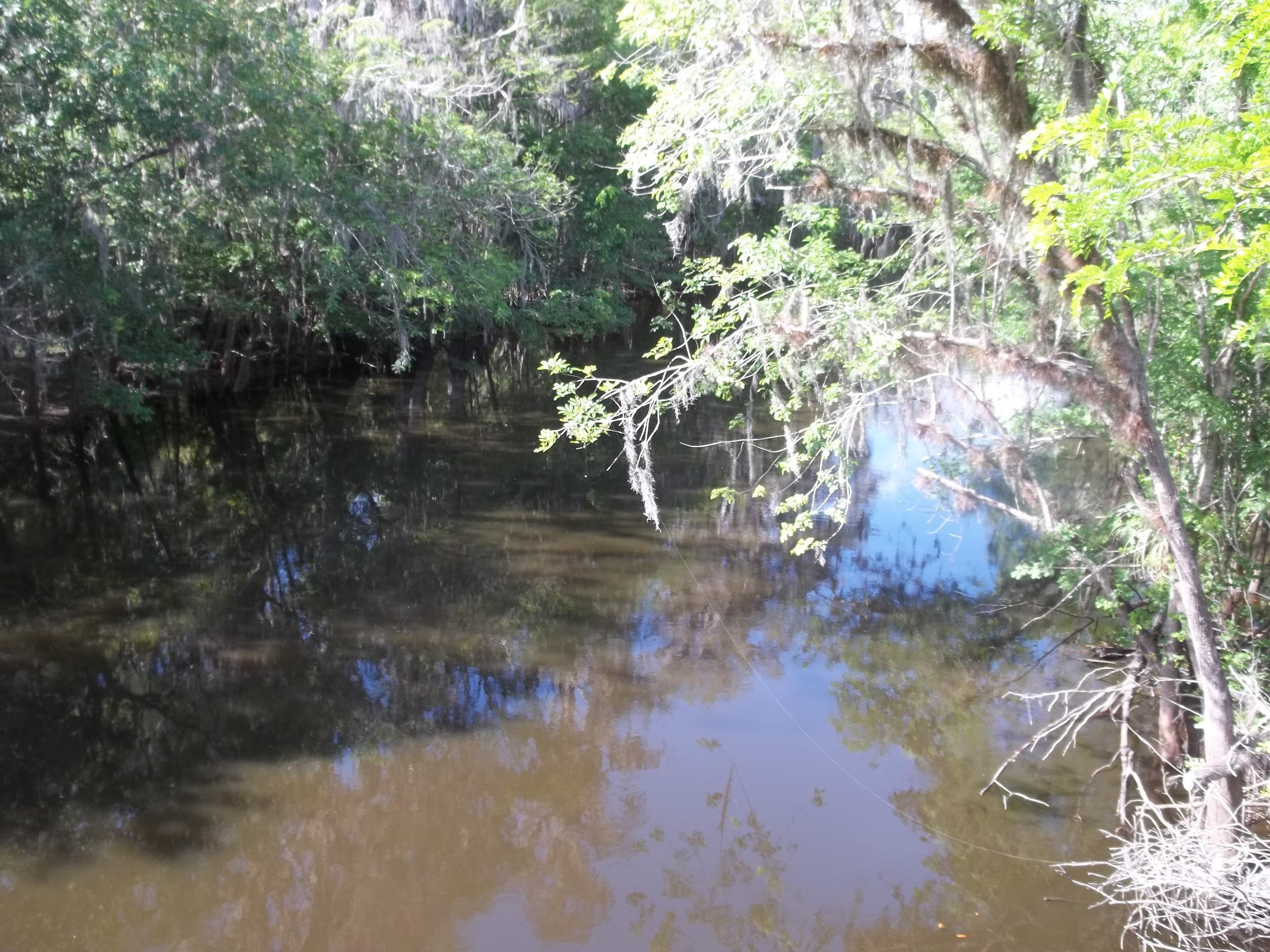
On October 7, 2014, the U.S. Geological Survey gauge on Saddle Creek below Lake Hancock published a daily mean discharge of 146 cubic feet per second. Nothing follows it. The next daily mean at station 02294491 is dated September 22, 2021, and it reads 0.04.
The station had been recording the water leaving Lake Hancock since December 1, 1963. The Survey's Florida data report for water year 2005 places it 65 feet downstream of structure P-11, 0.7 mile south of the lake and 3.0 miles north of the post office in Bartow, with 135 square miles draining to it. The equipment was a water-stage recorder, and the datum of the gage was set at 84.08 feet above the 1929 vertical datum, tied to a Southwest Florida Water Management District reference mark. Across water years 1965 through 2005 the annual mean discharge was 66.0 cubic feet per second, and the highest daily mean in that span, 1,620 cubic feet per second, came on September 11, 2004.
Construction of the new P-11 structure was completed in April 2013, and the old structure — the one the gauge was named for, 65 feet upstream of it — was demolished in May. In the water budget report the District published in February 2020, station 02294491 appears as a former USGS gaging station: continuous flow records from December 1, 1963 through October 7, 2014, discontinued after construction of the new P-11 structure, with no replacement gage established.
Without the station, the District calculated Lake Hancock's outflow rather than reading it. It built rating curves to predict discharge at P-11 as a function of Lake Hancock's stage, using historical flow records from the discontinued station collected before July 2, 2013. Records from January 1, 2013 through October 7, 2014 were left out of the analysis period entirely, because of the construction and the demolition. The report's own summary of the site, covering 1975 through 2012, gives it 135 square miles of drainage and an average flow of 58 cubic feet per second.
The annual peak-streamflow table has no entry after 2014. It opens with 442 cubic feet per second on September 17, 1964 and closes with 580 cubic feet per second on September 9, 2014, at a gage height of 14.45 feet. The Survey's series catalog counts 51 peaks between those dates. The largest is 1,640 cubic feet per second on September 11, 2004, at a gage height of 17.63 feet, the same date as the highest daily mean in the 1965–2005 record. Entries in the table carry qualification code 6: discharge affected by regulation or diversion.
Daily discharge has been published ever since that September 22, 2021 reading. The NWIS page for the site lists it as operated in cooperation with the Southwest Florida Water Management District and shows continuous records for discharge, gage height upstream and downstream of the structure, and stream water level elevation above the 1988 vertical datum.
On April 23, 2026 the District announced it was closing the Lake Hancock P-11 structure to maintain minimum levels in the lake, and said discharges to the river were expected to reach zero by that weekend. The daily values follow it: 3.18 cubic feet per second on April 24, 1.98 on April 25, 1.23 on April 26. Then zero. Every published daily mean from April 27 to October 14, 2026 is zero but one: 0.84 on August 5.
Water moved again on October 15, 2026, at 0.90 cubic feet per second. By October 18 the daily mean had risen to 40.1. The reading for October 25, 2026 is 15.6 cubic feet per second.
Sources
Every factual claim in this story was checked against the page it came from before the story was saved. These are those pages. Our standards are on the masthead.
- USGS NWIS daily values, discharge, station 02294491
- USGS NWIS daily values, discharge, station 02294491
- USGS NWIS site series catalog (RDB), station 02294491
- Water Resources Data Florida, Water Year 2005, Volume 3A: Southwest Florida Surface Water (USGS WDR-FL-05-3A)
- Water Budget Evaluation for a Proposed Reservation for Lake Hancock and Lower Saddle Creek in Polk County, Florida (February 2020), Southwest Florida Water Management District
- USGS NWIS annual peak streamflow, station 02294491 Saddle Creek at Structure P-11 near Bartow FL
- Saddle Creek at Structure P-11 Near Bartow FL - USGS-02294491, USGS Water Data for the Nation
- District Closing Lake Hancock Water Control Structure to Protect the Lake's Required Minimum Level (news release, April 23, 2026), Southwest Florida Water Management District
- USGS NWIS daily values, discharge, station 02294491
Lake Otis, Winter Haven: The Two Parking Spaces That Unlocked the Hydrilla Money
Homeowners on a private Winter Haven lake raised about $40,000 to kill their hydrilla and needed $90,000 — so they built a public boat ramp instead, because a state rule only funds weed control on water the public can launch on
Read →
Mountain Lake, Lake Wales: The Winter Home That Led to Bok Tower
Bok Tower sits on Iron Mountain because a Philadelphia magazine editor first bought a winter-home lot on the 92-acre private lake next door, and hired the lake colony's landscape architect
Read →
Saddlebag Lake, Lake Wales: The Five Months of Pumping It Took to Get the Water Out
Saddlebag Lake is a closed basin with no outlet, so when it rose into 300 homes in 2005 the only way out was three pumps and two miles of pipe to Lake Rosalie — paid for by the residents at $30,000 a month
Read →
Lake Davenport, Davenport: The 1942 Motion That Cut the Lake in Two
In 1942 the Minutes of Davenport record a motion to tear down the failing West Boulevard bridge and fill the channel with sand, and Lake Davenport's northeastern arm has been a separate pond ever since
Read →